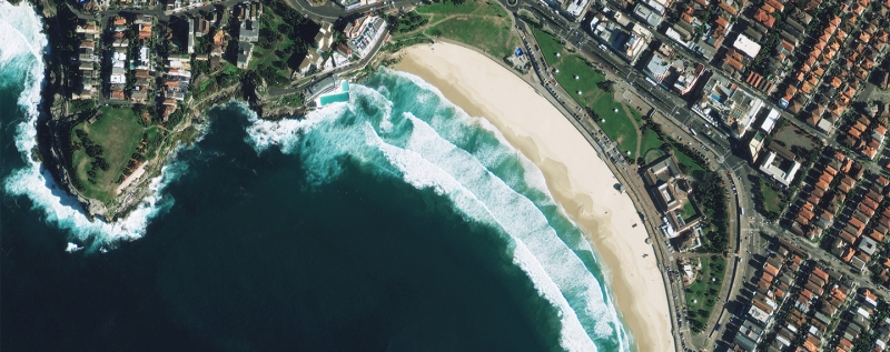
Back in June, the US government lifted restrictions on high-detail satellite imagery, allowing companies to use images where features smaller than 50 cm are visible. Now, two months later, the first high resolution public imaging satellite is ready for launch.
Developed by DigitalGlobe, a leading global content provider of high-resolution earth imagery, the WorldView-3 will be launched by Lockheed Martin Commercial Launch Services from Vandenberg Air Force Base in California on August 13.
DigitalGlobe says that the satellite will be able to provide 31 centimeter resolution from 617 kilometers away, which is the same as the distance between Southern California's Hollywood sign and the Golden Gate Bridge in San Francisco.
The 18 foot tall, 8 foot wide satellite, which has a design life of 7 years and 3 months, will also be able to relay images through obstructions like clouds or smoke.

The data sent back by the WorldView-3 will be used by a number of mapping services, including Google and Microsoft, both of which are DigitalGlobe customers. In addition, the detailed imagery will also support the growing needs of a variety of industries including agriculture, oil and gas, and mining.
The satellite will be operational approximately 90 days after launch, and the company will begin selling images after six months of operation.
Interested in watching the launch? You can catch the action live at 11:30 AM PT / 2:30 PM ET on the United Launch Alliance website.