Something to look forward to: Google Maps has arguably been the default navigational tool since people started using smartphones in cars, but there is always room for improvement. The app will soon display more detailed information and become easier to reach on mobile devices.

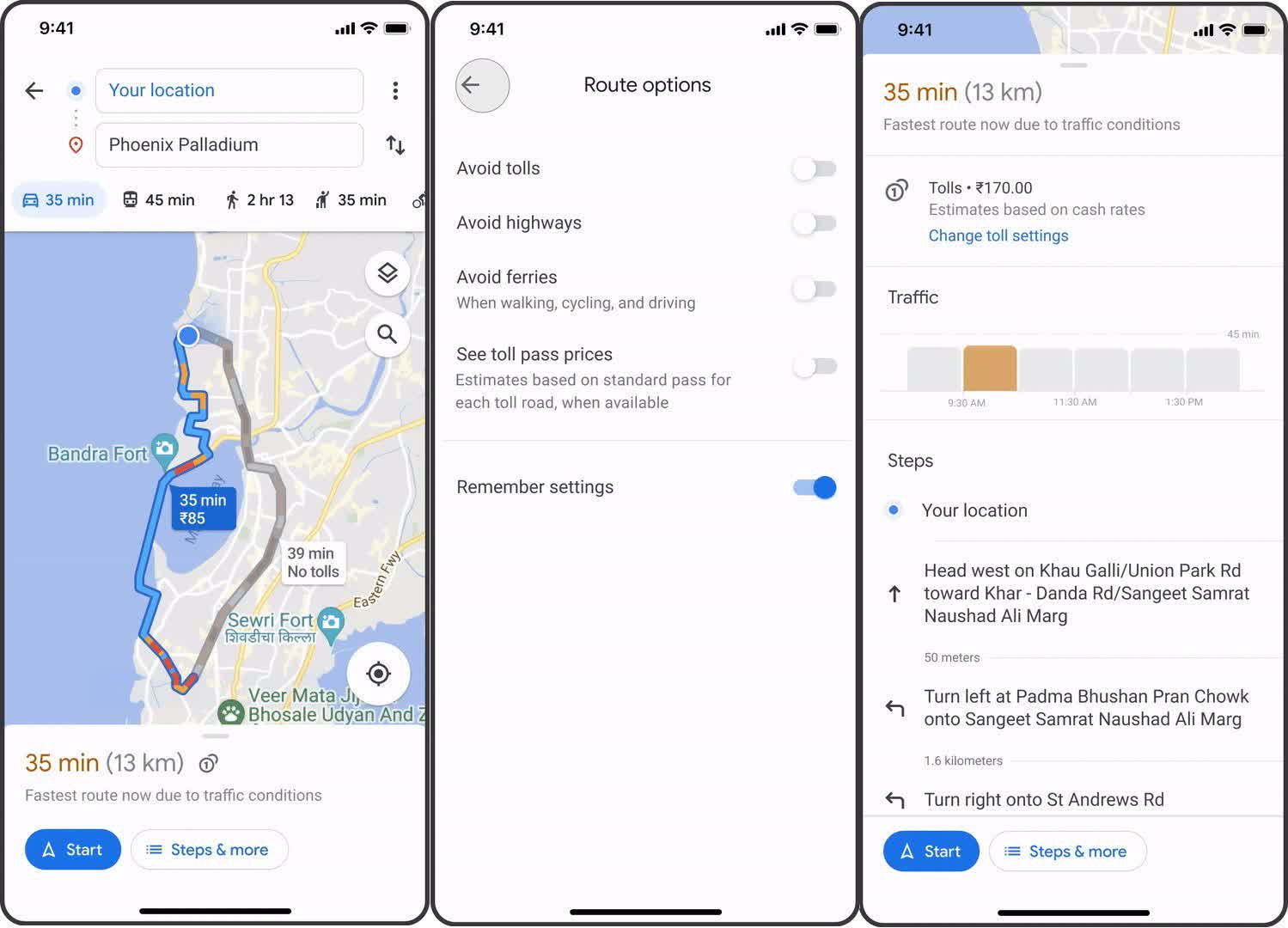
The first of several additions coming to Google Maps is information about tolls so drivers can better plan how much a trip will cost. Android and iOS users in the US, India, Japan, and Indonesia can see estimated toll prices for their destinations before turning on navigation starting later this month. Google will add more countries later.
Google Maps will use information from local tolling authorities to estimate toll prices when crossing 2,000 roads across the previously mentioned territories. It will account for the chosen payment method and the day of the week. Users can also tell Google Maps to pick routes without tolls and hide tolls from navigation.
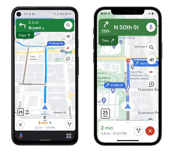
In the coming weeks, another improvement to Google Maps will bring traffic lights and stop signs to users on Android, iOS, Android Auto, and CarPlay, to better inform them of how long a trip might take.
Adding the outlines of buildings should also make locations more recognizable, and in certain cities, Google Maps will more accurately depict the shape of the road. However, the company didn't specify which cities or countries would see these improved details.
The in-car navigation experience isn't the only thing Google plans to improve. In a few weeks, navigation will work on the Apple Watch, independent of an iPhone. Later this summer, bringing up navigation information with voice commands on iOS should become easier, as developers will better integrate Google Maps with Spotlight, Siri, and Shortcuts. At some point, improved widgets will become another way to reach Google Maps on iOS more quickly.
https://www.techspot.com/news/94122-google-announces-upcoming-improvements-maps-navigation.html