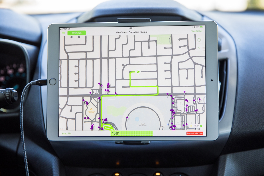
What just happened? Apple's effort to improve its Maps application involves the hands-on collection of data from a variety of sources including pedestrians on foot. Google has been using backpack-wearing employees to collect mapping data for years but this is the first time Apple has confirmed a similar practice.
Apple has confirmed that it is collecting pedestrian-based street-level data to improve its mapping efforts.
Evidence suggesting that was the case first surfaced last month when former Engadget editor Dante Cesa shared photos on Twitter of a man surveying San Francisco with an Apple Maps backpack. The cumbersome kit appeared to feature LIDAR sensors, cameras and GPS transmitters.
Apple SVP Eddy Cue in June told TechCrunch that the company has been working to overhaul Maps for over four years. Data collection involved road-based vehicles, aerial drones and as we learned in October, foot-based pedestrians.

Apple on its mapping vehicle page shares the locations and dates where its collection efforts will take place. From November 26 through December 23, Apple will be collecting pedestrian-based data in Los Angeles, San Francisco, San Mateo county, Santa Clara county and Santa Cruz county in California.
To protect privacy, Apple will blur faces and license plates before publishing any images it collects.
MacRumors speculates the pedestrian data will be used to improve walking directions in Apple Maps. Cue said earlier this year that users in San Francisco would be the first to gain access to new mapping data.
