Google Earth now covers 98 percent of the population

Shawn Knight

Posts: 15,256   +192
Staff member
The big picture: Indeed, the quality of satellite imagery featured in Google’s mapping products has improved dramatically over the past decade or so. This is readily evident in Google Earth using the timeline slider to view satellite imagery from years earlier. Most imagery captured within the past few years is easily noticeable while snaps from a decade or more ago are often in black and white and hardly recognizable.

Google has managed to catalog an unbelievable amount of imagery to populate its various mapping services.

In a recent blog post on the matter, Google Maps Senior Product Manager Thomas Escobar said the company has now captured more than 10 million miles of Street View imagery. That’s enough to circle the globe more than 400 times, Escobar notes.

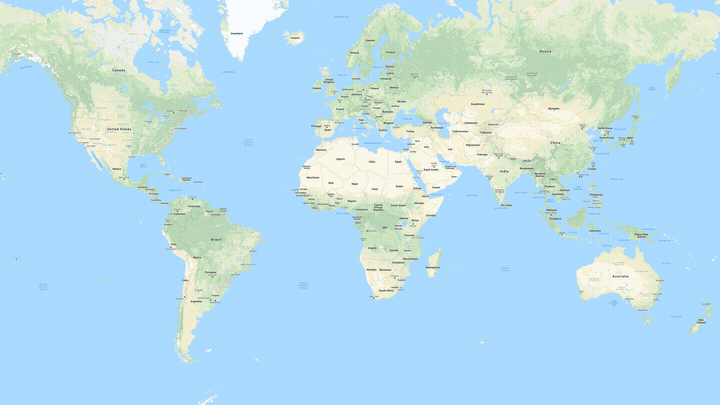
Google Earth, meanwhile, now contains more than 36 million square miles of HD-quality satellite images from a variety of providers. According to Escobar, Google Earth imagery now covers 98 percent of the planet’s population.

Street View imagery collection is even more impressive. As you may know, Google has a massive fleet of vehicles that roam the globe collecting street-level photos. But did you know that Google also employs boats, sheep and even camels to help gather imagery in remote locations?

But collecting imagery is only part of the equation as the tech giant then has to use a process called photogrammetry to align and stitch everything into place to create an accurate depiction of the real world. Google’s approach is unique in that it utilizes imagery from multiple sources and is accurate down to the meter.

Permalink to story.

 
I call a sh!t-ton of BS here as huge swaths of the U.S. have no street view. Especially so much of the population on dirt roads. If they want to claim street view for highly populated cities only, then I may somewhat agree. While there may be a street view of my old house, it is somewhere around at least 10 years old. I guess they still count that? Did they take classes from microsoft on making up numbers?
 
I call a sh!t-ton of BS here as huge swaths of the U.S. have no street view. Especially so much of the population on dirt roads. If they want to claim street view for highly populated cities only, then I may somewhat agree. While there may be a street view of my old house, it is somewhere around at least 10 years old. I guess they still count that? Did they take classes from microsoft on making up numbers?
The way it's written can easily confuse one. The title says, "Google Earth now covers 98 percent of the population," and then it goes on to talk about Street View. Then on the 3rd paragraph is when the article starts talking about Google Earth's satellite images.
 
I call a sh!t-ton of BS here as huge swaths of the U.S. have no street view. Especially so much of the population on dirt roads. If they want to claim street view for highly populated cities only, then I may somewhat agree. While there may be a street view of my old house, it is somewhere around at least 10 years old. I guess they still count that? Did they take classes from microsoft on making up numbers?
There's a difference between Google Earth and Street View. It's the satellite generated Google Earth that is purported to cover 98%. IMHO, Street View coverage for small town America is somewhat inconsistent or just plain lacking on streets other than Main Street.
 
The way it's written can easily confuse one. The title says, "Google Earth now covers 98 percent of the population," and then it goes on to talk about Street View. Then on the 3rd paragraph is when the article starts talking about Google Earth's satellite images.

Yep, the wording of the article led me to believe street view had 98%. They must have made significant strides in the last few years. I would run across a lot of areas that were blurred out or basically you couldn't make out anything. I particularly like checking out islands way out in the middle of nowhere in the ocean. I guess they are claiming all of that is fixed now...
 
I was in Africa recently and the Maps and satellite images were pretty good, but street view was poor. South Africa seems to have a lot, but Harare, Zimbabwe only has a few major streets but no minor ones, not even if they are sealed. Kariba Dam, Victoria Falls and Livingstone (Zambia) have no street view, even though they are major tourist destinations, neither did Lusaka the capital of Zambia and I couldn't see any in Malawi. So there's even further to go in non-Western countries.
 
You would think that will all the 360 degree camera's on the market now they would at least ask users to submit their own video's to cover the "blanks". Certainly not as good but at least they would have something! Granted, it is a huge undertaking but before making such lofty claims they need to complete the job .....
 
The current version of Google Earth needs to be updated, its still showing the Alaskan Way Via duct in Seattle.
 
Back