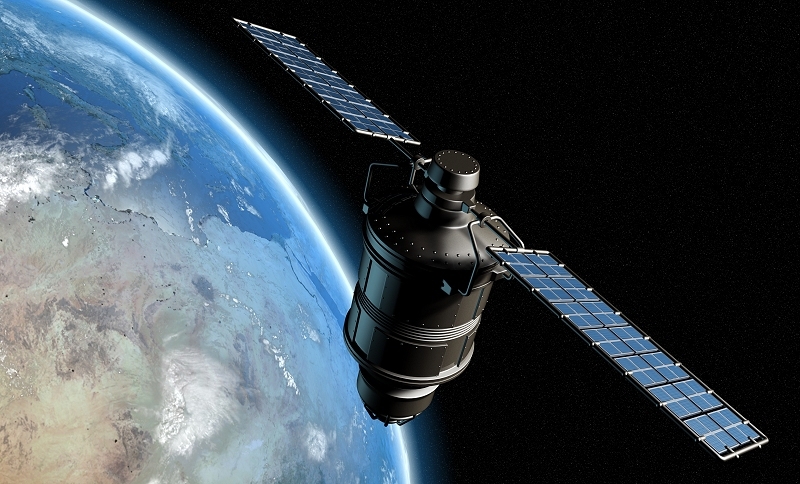
Mapping applications like those from Bing and Google already offer extremely detailed satellite imagery in select areas. And now thanks to a recent decision from the US Department of Commerce, the quality of those overhead shots will be improving to a level that'll soon be able to show details down to just over 12 inches.
Up to this point, satellite imagery providers weren't able to use photos in which features smaller than 50cm were visible. If you wanted something closer, you'd need to commission an aircraft to capture aerial images - an endeavor described as expensive, time-consuming and prohibitive due to restricted airspace or dangerous weather conditions.
Digital Globe reached out to the Department of Commerce and was able to get the ban lowered down to just 31cm. It may not sound like much but the extra level of detail is expected to have a big impact on the industry.
The firm plans to launch a new satellite later this summer that can take advantage of the increased sharpness. According to the company, the Worldview-3 satellite will be able to show key features like mailboxes and manholes.
Higher resolution images will likely be used by mapping providers for general public use but it's not limited to just that. Digital Globe believes the photos could also aid in disaster relief and agriculture efforts.
While sharper satellite images will no doubt be welcomed by some, others are already seeing it as a privacy concern. At least one lawyer told the BBC that he expected there will be some national security considerations to address.
