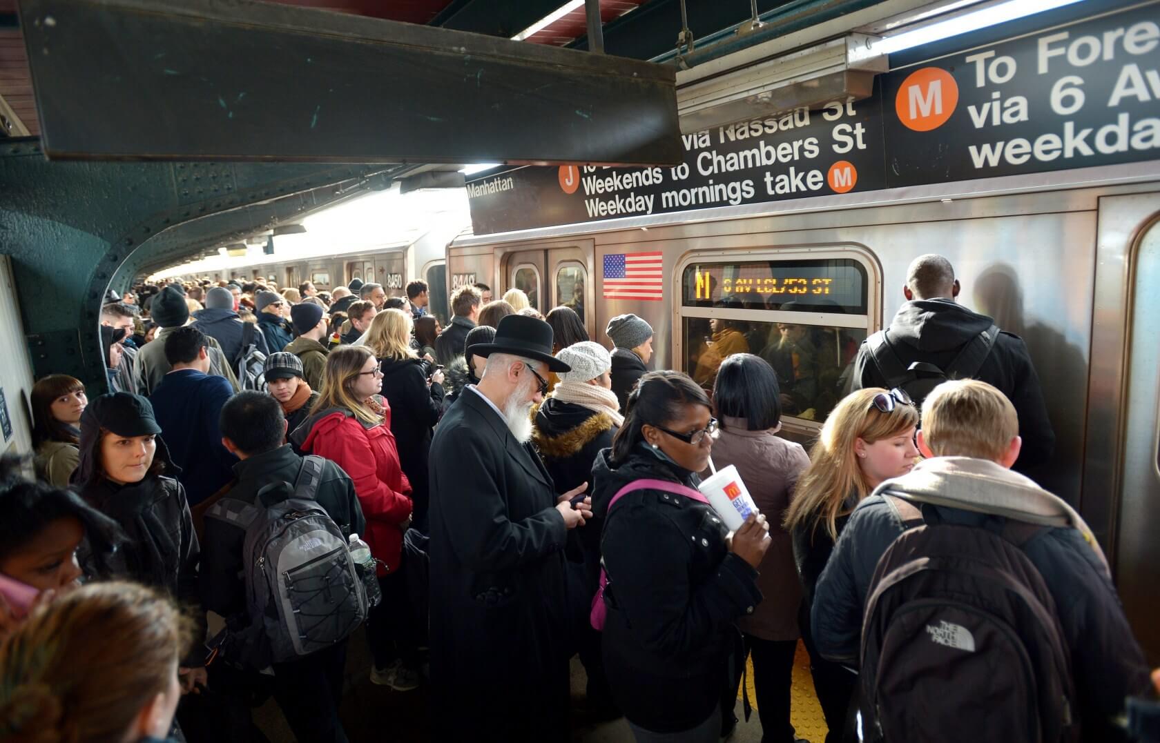
Public transit woes: Public transit can either be a nightmare or a godsend depending on where you live and what time of day you choose to take advantage of it. At best, there may only be a handful of other people on a given train or bus, but at worst, you may be standing shoulder to shoulder with dozens of other passengers.
That's far from an ideal situation, but unfortunately, there's never really been a great way to tell how packed a given public transit system is going to be before arriving. However, that could be about to change, if Google has its way.
The company is currently rolling out a new prediction system to Google Maps that can let you know ahead of time if a bus or subway is expected to be particularly busy. This feature will arrive across 200 cities throughout the world eventually, but for now, Google is keeping its initial launch small, with roughly 18 cities supported.

Those cities will only be in the UK for now, and the list includes the likes of Glasgow, London, Oxford, Birmingham, and others. Presumably, major cities in the US, Canada, and other countries will be supported soon.
If you do happen to live in one of the cities mentioned above (see the full list here), you won't need to do anything special to unlock these new features. Just plot your route as you normally would within Google Maps on iOS or Android, and "crowdedness predictions" – if they've rolled out to your device – should automatically appear.
