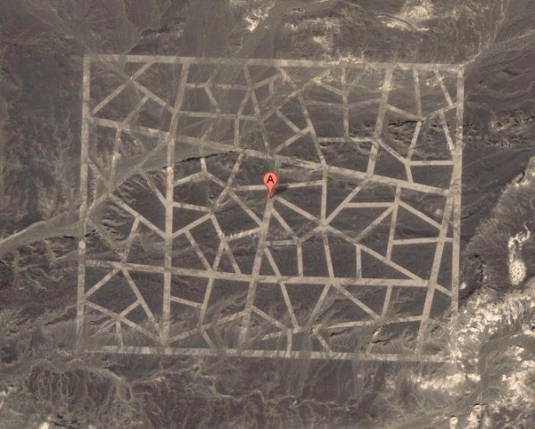
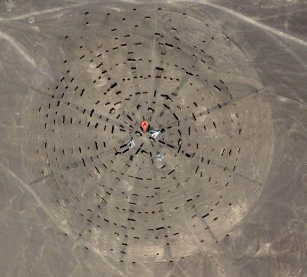
Several mysterious images of designs and structures found in China's Gobi Desert surfaced earlier this week and left most Internet users speechless. Speculation has run wild for days as to their purpose but now a research technician and mission planner at the Mars Space Flight Facility at Arizona State University is confident he has the answers.
One image shows what appears to be a Stonehenge-like arrangement of objects, another reveals a mock airport runway while several others look more like an aerial view of multiple connected city streets - not exactly what you'd expect to find in the middle of a desert.

As it turns out, they are all used to calibrate China's spy satellites, according to Jonathon Hill. As described by Fox News, satellites focus in on the grids seen in some of the aerial maps and use them to orientate themselves in space.
Hill believes that many of the 65-foot wide lines were drawn on the desert floor using paint. Chalk or powder would have certainly been blown away by winds. The fact that some of the targets are so large indicates that China's spy satellite cameras could have poor resolution. One target is estimated to be .65 miles wide by 1.15 miles long.

The Stonehenge-like arrangement seen above shows a series of fighter jets parked near the center. Hill thinks this is a calibration / test target for orbital radar instruments.
"Since a significant amount of radar return is due to differences in surface roughness, they're probably testing ways of making the areas around planes 'bumpy' enough that the planes are partially masked," Hill said.
The close proximity of some of the test sites leads Hill to conclude that the area is some sort of military test zone which explains why there's so much technology in an otherwise desolate area.