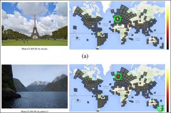
Google has unveiled a new neural network called PlaNet that's capable of determining the location an image was captured.
To measure PlaNet's accuracy, the team collected roughly 2.3 million geotagged images from Flickr and fed them through the network. The system was able to correctly identify images at street-level accuracy 3.6 percent of the time and city-level accuracy 10.1 percent of the time. Zooming out further, PlaNet nailed country-level accuracy 28.4 percent of the time and correctly guess the continent an image was taken on 48 percent of the time.

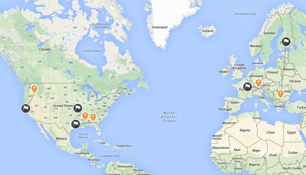
Google also pitted its neural network against 10 well-traveled humans using an online game that challenges players to pinpoint on a map where they believe an image was taken. Unsurprisingly, PlaNet got it right more often than its human counterparts.
While its accuracy is far from perfect, it highlights just how far such technology has come. Oh, and if you want to play the game yourself, you can do so by clicking here. Be sure to look for clues in the images - road signs, types of vehicles, architecture type, etc. - to give yourself the best shot.
Perhaps most impressive is the fact that the model uses a very small amount of memory. Tobias Weyand, a computer vision specialist with Google that worked on the project, told Technology Review that it utilizes just 377MB - far less than other methods that rely on gigabytes of data.
