Editor's take: It wasn't all that long ago that digital maps weren't even a thing. I can vividly remember going on family vacations armed with little more than a road atlas from the local gas station (and more often than not, simply pulling out an old version from the glove box). Between paper maps and road signs, that's all you really had to go on when navigating unfamiliar territory. My, how times have changed.
Facebook this week acquired Swedish-based crowdsourced mapping firm Mapillary for an undisclosed sum.
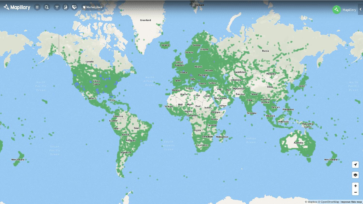
Launched in 2013 as an iPhone app, Mapillary is a mapping platform that takes images submitted by users of their local communities and stitches them together to create constantly evolving street-level maps. The company added support for Android users in early 2014. As of last year, Mapillary's database contained over a billion photos.
In contrast, firms like Google utilize internal teams to capture street-level imagery for use in Google Maps. This strategy gives them greater control over the quality of the photos they capture but also means that images are updated far less often compared to the massive network of users that Mapillary has.
Mapillary co-founder Jan Erik Solem said the company will continue to serve as a global platform for imagery, map data and improving maps. Users will still be able to upload imagery just as they always have and use map data from existing photos on the platform. Moving forward, however, all imagery on Mapillary will also be open for commercial use free of charge.
