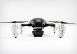
Tech Deals Electronics Ready for takeoff: Get the Extreme Micro Drone 2.0 with camera 46% off By TechSpot Deals, March 5, 2015, 10:45 AM
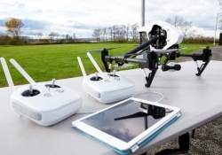
Electronics DJI's new Inspire 1 drone includes 4K camera with three-axis image stabilization By Shawn Knight, November 13, 2014, 5:15 AM
The Web Google Maps gets high-res aerial imagery for 72 countries, regions By Rick Burgess, July 30, 2012, 5:00 PM
The Web Google adds balloon and kite aerial imagery to Google Earth By Shawn Knight, April 18, 2012, 4:30 PM