Artist uses 99 smartphones to create virtual traffic jams in Google Maps

Shawn Knight

Posts: 15,314   +193
Staff member
In brief: An artist from Berlin has proven just how easy it can be to manipulate Google Maps' real-time traffic data. With a wagon full of phones, he was able to create virtual traffic jams and presumably reroute traffic, causing others to unnecessarily avoid the area. Clever or dangerous?

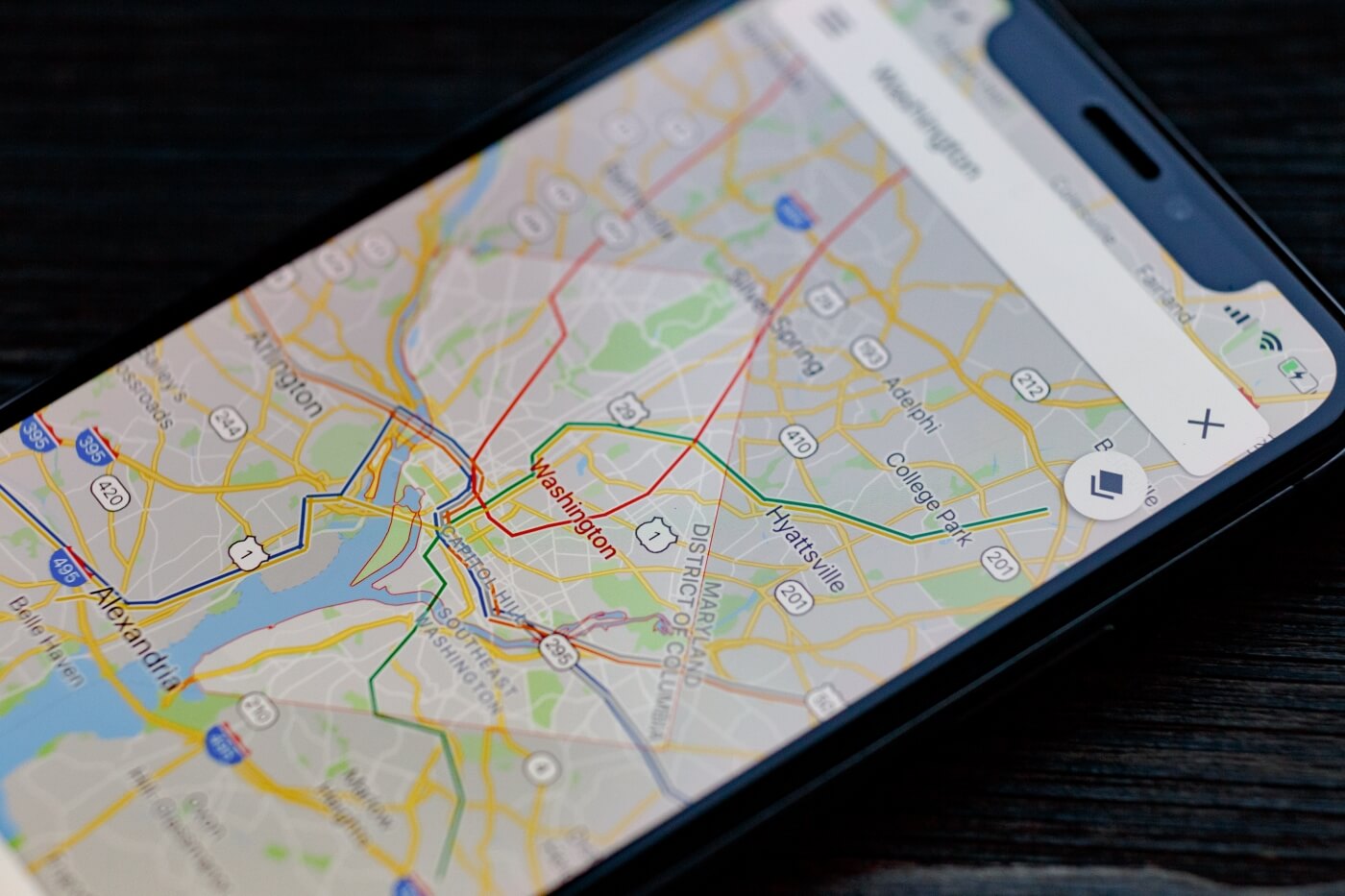
Google for well over a decade has used colored overlays in its mapping application to illustrate real-time traffic conditions. Green means smooth sailing, yellow indicates some crowding and red signifies a bona fide traffic jam.

This information about your commute is deemed invaluable to many, but did you ever stop to question where Google and others source their data from? Look no further than the trusty ole spy in your pocket, otherwise known as your smartphone.

Mapping providers like Google rely on crowdsourcing to collect speed and location information from smartphone users. By analyzing the movement and congestion of phones, they’re able to determine traffic conditions with a reasonable level of accuracy. That is, until a prankster like Simon Weckert comes along.

Weckert gathered 99 smartphones, loaded each one with the Google Maps app then walked around town with them in a wagon. As Weckert appears to demonstrate in the clip above, the behavior succeeded in creating a virtual traffic jam, turning green streets red within the app.

Presumably, this also affected others by rerouting them to avoid the “traffic jam.”

For its part, Google seems to be taking it all in stride. A spokesperson for Google told 9to5Google that “Whether via car or cart or camel, we love seeing creative uses of Google Maps as it helps us make maps work better over time.”

Masthead credit: Google Maps by XanderSt

Permalink to story.

 
I think there is a proposal in EU that every car should have GPS, in this case I think it would be better
(little different topic) Yandex map offer real time public transport but only in Russia and few other countries
 
I think there is a proposal in EU that every car should have GPS, in this case I think it would be better
(little different topic) Yandex map offer real time public transport but only in Russia and few other countries

Having GPS is receive only and doesn't mean the car can communicate it's location. You'd also need the car to be connected to cellular. Which means a phone could easily emulate it if someone was determined enough.
 
I think what's worse is when google maps shows the traffic is clear while it is not for miles.

to manipulate the maps into thinking there is a traffic, you shouldn't need 99 phones. what you need are just 2-3 phones with GPS turned on and another running google maps while driving for 5mph. that should've created traffic within minutes. I did that in a rural area while I was way too early for a meeting. that "fake" traffic lasted for 10 minutes after I left.
 
There is always some space for improving. Who knows better than the tech giant Google? But this time users found the demerit of Google maps. Many say Waze which is a company acquired by Google before shows better results, navigations. Google has to look this time very seriously and has to change their Google map algorithm to show better results.
 
Thats why when I've taken cross-country trips I always have a 2nd gps like a garmin running along with my phone, its interesting to watch how much is going on with the phone which seems to want reroutes whenever possible.
 
This wasn't "art", this was at best a nuisance. If I was one of those drivers, I'd be tempted to smash his face in with all 99 of those phones.
 
Back