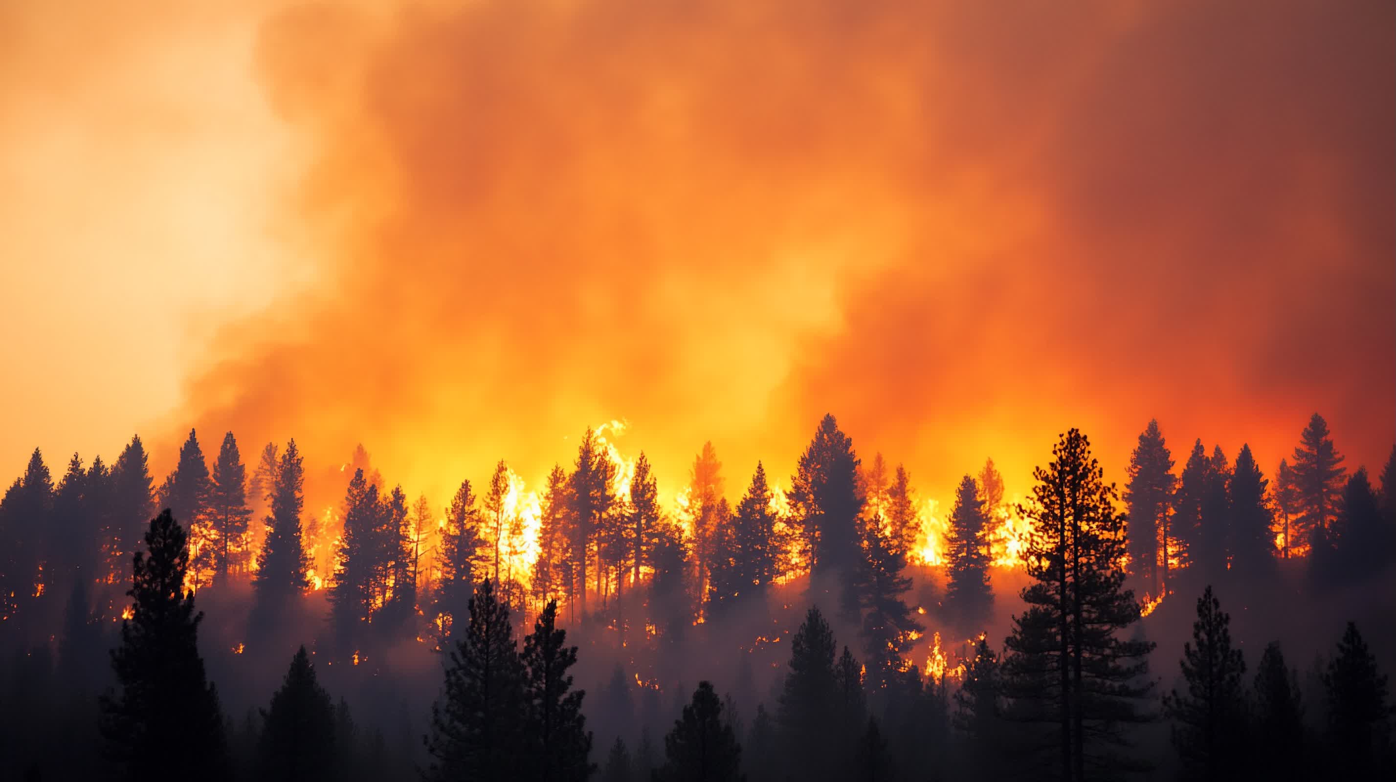
The big picture: Greece is turning to space-based hardware to help firefighters detect wildfires earlier and see them more clearly as blazes burn across Attica and popular island resorts. A new thermal satellite network, called the Hellenic Fire System, is now feeding data to authorities while crews learn how to use it ahead of its planned full deployment in September. Its ultimate impact will depend on how smoothly the technology fits into daily firefighting operations and how reliably it can support decision-making during the next severe fire season.
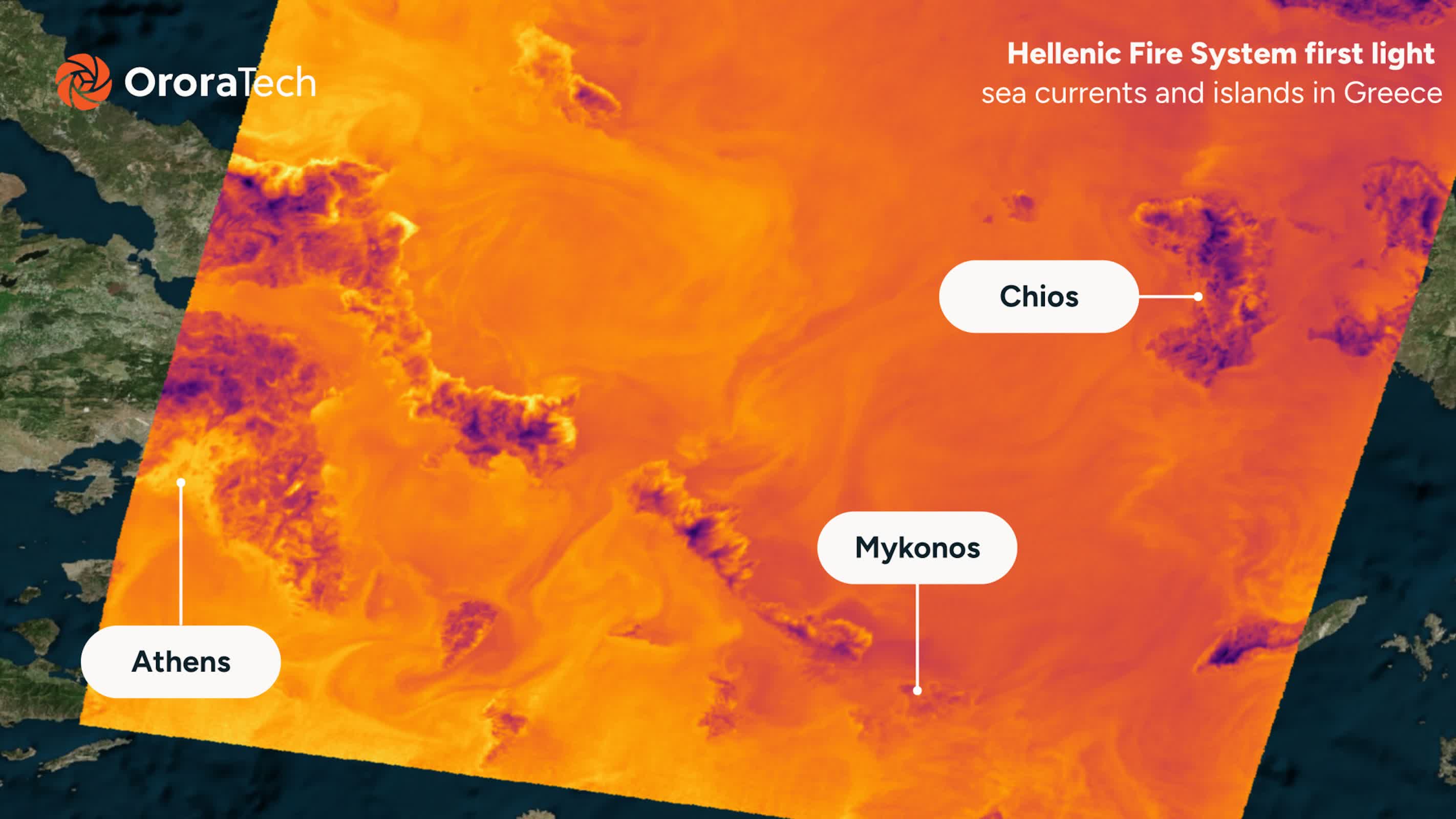
The system is built around four small satellites that fly in low Earth orbit and repeatedly pass over the same areas. Developed by German firm OroraTech in partnership with the Hellenic Space Centre, the constellation is designed specifically to detect fires and hotspots rather than serve as a general Earth observation platform.
Ioannis Lantouris, OroraTech's head of operations in Greece, said the satellites can detect heat sources as small as 4 by 4 meters. "It doesn't just take pictures," Lantouris told the Financial Times. "We process the pictures on the satellite and then send them down to Earth." That processing happens onboard, with software running on the spacecraft to analyze each image, screen out likely false alarms, and package only relevant fire data for teams on the ground.
Once the data is downlinked, another layer of software checks whether each signal is likely to represent a real fire. It also uses information about the terrain and the intensity of the heat source to estimate how a blaze could spread. In effect, the system is designed to provide both early detection and an initial assessment of how a fire might behave before firefighters reach the scene.
The new satellites carry thermal sensors tuned to detect heat through smoke, addressing a major weakness of optical cameras in heavy-fire conditions. The ability to detect heat through smoke gives authorities a clearer picture of fire fronts and hotspots when visibility is poor and aircraft or ground observers cannot see the full extent of a blaze. "It changes the whole way we perceive and manage wildfires," said Lantouris. "You don't need a human to call the fire department first. And when you do detect the signs, you can analyze them faster."
Satellites have been used to monitor fires for years, but most large systems were built for broad environmental imaging and operate at higher altitudes. That often forces a choice between how frequently a satellite can revisit the same area and how small a fire it can detect.
Thomas Smith, associate professor of environmental geography at the London School of Economics, described this as a "trade-off" between frequent imaging and sensitivity to small fires. The higher the orbit, the less frequently a satellite returns to a particular location and the larger a blaze must be to show up clearly.
The Hellenic Fire System is designed to shift that balance toward Greece's needs by using a dedicated constellation and coordinated orbits. Because the satellites travel as a group, national territory can be monitored more frequently while still detecting smaller hotspots. "As Greece passes out of the view of one satellite, it comes into the view of the next in the constellation," Smith said. In practice, that creates staggered coverage windows over high-risk regions.
Control over timing is a key part of the design. Dimitris Bilziotis, Earth Observation program manager at the Hellenic Space Centre, said the main advantage is the ability to monitor high-risk areas more frequently at times chosen by authorities. The satellites began transmitting thermal images in June and are expected to become fully operational in September. Even during this ramp-up period, they are being used to track fires in Attica and on islands that attract large numbers of tourists.
Turning the system on, however, is only one step. Bilziotis said getting firefighters to adopt the technology is the harder part. "We've come up with a solution, but now the most difficult part is the adoption of that solution," he said. "The fire brigade is used to the technology they were using before, so now we have to train them on how to process the new kinds of data." Crews need to learn how to interpret satellite-based thermal products and incorporate them into decisions in the field.
If the training succeeds, satellite-driven alerts could allow teams to respond sooner, detecting hotspots that are not yet visible to residents or patrols on the ground. The shift from human calls to automated detections also raises practical questions about how alerts are prioritized and how much trust emergency services place in machine analysis during fast-moving events.
The Greek project builds on OroraTech's wider work. The company launched an eight-satellite constellation last year to monitor fires globally, and the new Greece-focused network applies the same thermal and processing technology specifically to the country's geography and risk profile.