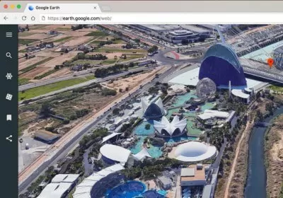
Google Redesigned Google Earth adds guided tours, 3D view and more By Shawn Knight, April 19, 2017, 7:00 AM
Google The Web Watch our planet endure three decades of change with Google Timelapse By Shawn Knight, November 30, 2016, 6:15 AM
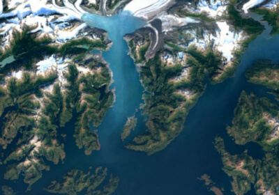
Google The Web Google infuses Earth and Maps apps with super sharp satellite imagery By Shawn Knight, June 28, 2016, 11:30 AM 7 comments
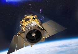
Industry The Web World's first super-spectral, high-resolution commercial satellite launching Wednesday By Himanshu Arora, August 11, 2014, 11:30 AM
Industry Higher-resolution satellite imagery approved by Department of Commerce By Shawn Knight, June 16, 2014, 2:30 PM
Industry Google agrees to buy satellite imagery startup Skybox for $500 million By Shawn Knight, June 10, 2014, 5:45 PM
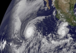
Industry Google infuses mapping products with cloud-free imagery By Shawn Knight, June 28, 2013, 9:30 AM
Microsoft Bing Maps gets 121 terabytes of new satellite and aerial imagery By Shawn Knight, November 30, 2012, 1:00 PM
The Web Google Maps gets high-res aerial imagery for 72 countries, regions By Rick Burgess, July 30, 2012, 5:00 PM