What just happened? The clarity and resolution of satellite imagery have improved so much in the past decade that we can easily distinguish cars and people from space. These advancements are even helping researchers measure and get a more realistic view of the ocean floor, discovering many previously unknown underwater peaks and mountain formations.
A new survey of underwater mountains has nearly doubled the number of known structures hidden below the ocean surface. Researchers at the Scripps Institution of Oceanography at the University of California, San Diego, were able to speed the discovery process by employing a novel approach to measuring the curvature of the ocean surface, with no need for hunting each new underwater peak.
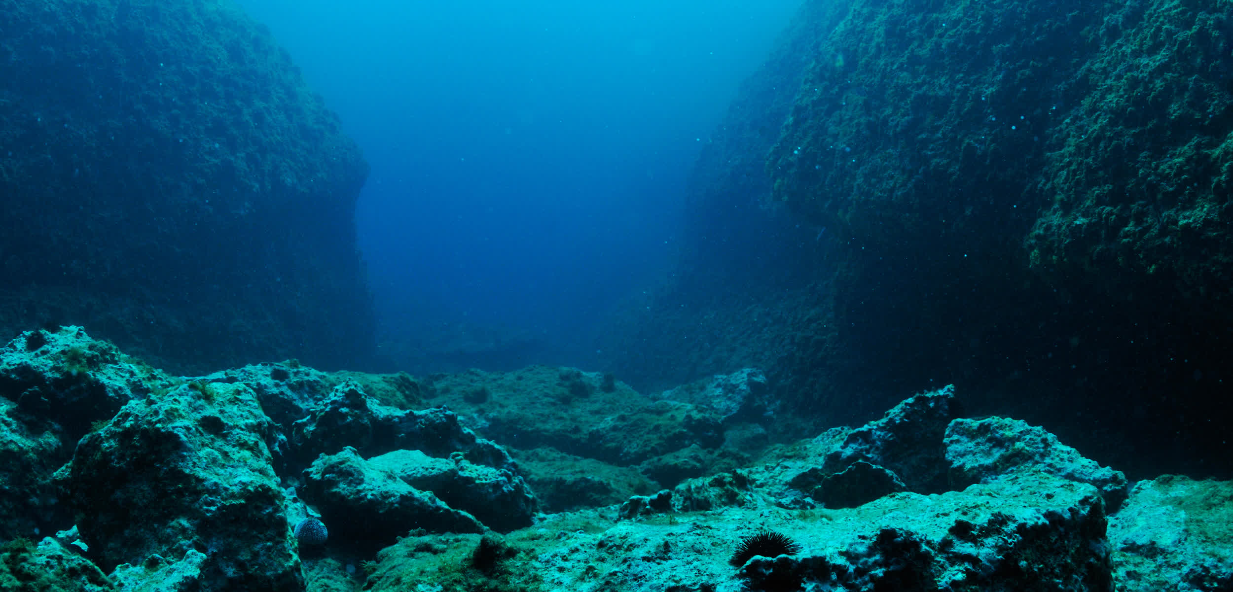
Seamounts are essentially the undersea equivalent of surface mountains, rising above the ocean's floor while remaining below sea level. Traditional mapping requires pinging the seafloor with sonar, an expensive and time-consuming process requiring ships and dedicated teams wandering around the world's oceans.
Sonar-based mapping of underwater mountains has managed to survey only 20 percent of the earth's oceans, discovering 24,643 seamounts. The new study leveraged satellite data to fill the gaps in the seamount map, analyzing the global ocean coverage and examining the vertical gravity gradient (VGG) derived from satellite altimeter measurements.
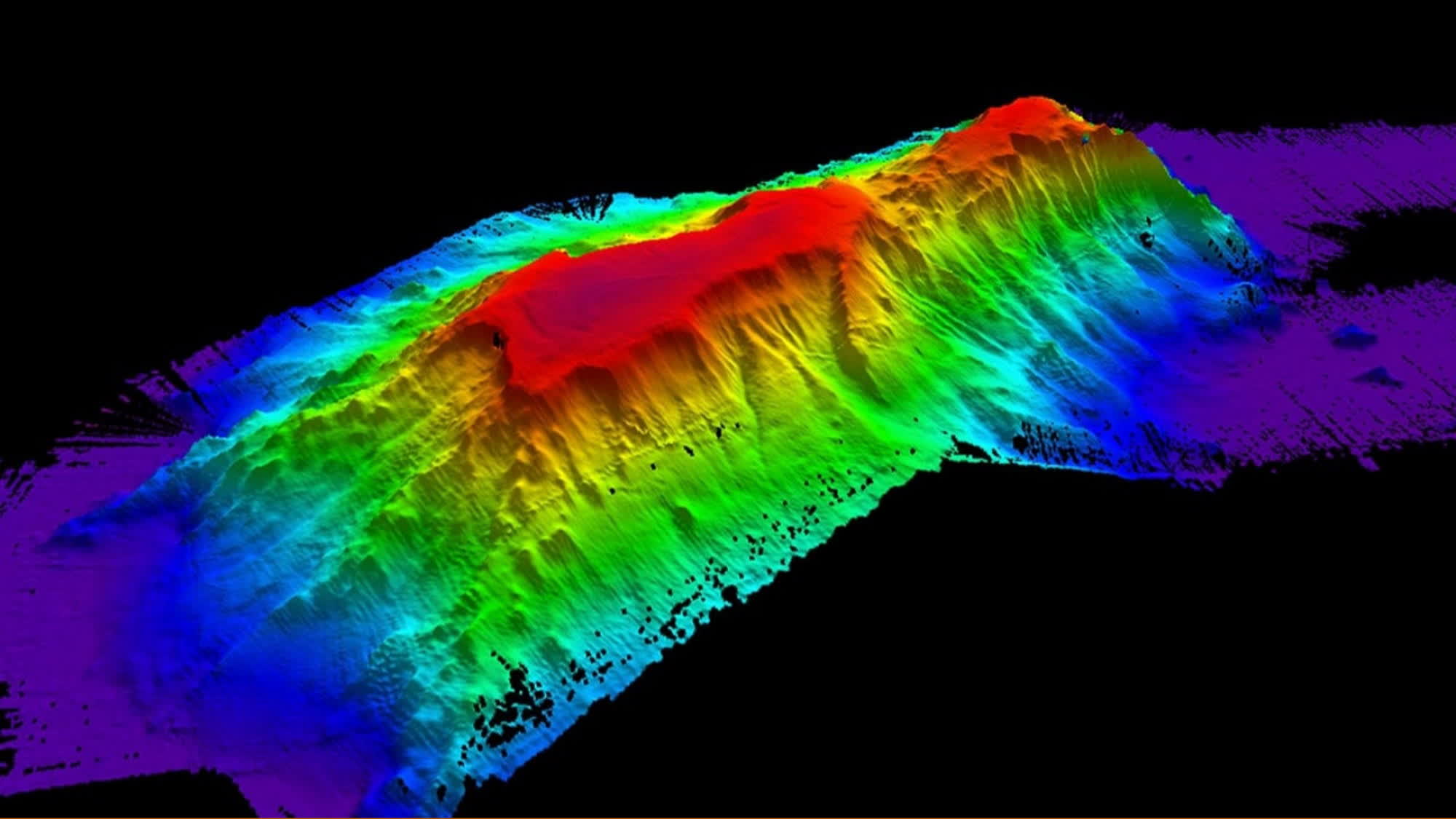
The paper--published in the April issue of the Earth and Space Science journal--notes that the Scripps researchers looked for centimeter-scale bumps in the gravitational influence of seamounts. Since rock is denser than water, an underwater mountain slightly changes Earth's gravitational field.
Seamounts play a crucial role within the underwater ecosystem, hosting different types of habitats and carrying nutrient-rich water streams across their ridges. The new survey technique revealed an astounding 19,325 newly discovered seamounts. The researchers confirmed that the recently identified seamounts were real by comparing the observations to traditional sonar maps. Most of the new underwater mountains had a slight elevation, ranging from 700 to 2,500 meters.
Additionally, a more realistic map of the world's seamounts benefits humans by providing submarines with accurate undersea maps to plan safe routes. In 2021, Navy investigators determined that an uncharted seamount caused the USS Connecticut nuclear submarine to "run aground" in the South China Sea.